Transport information
Buses Operating in the Parish
The major bus service re-organisation following Covid has meant our Parish has lost many of the useful direct connections we previously had. The latest revisions, introduced on 1 September 2024, have impacted the Parish again. However, at present, we still have direct access to a variety of areas including Bath, Kingswood, UWE and Parkway Station (19), and Bristol, Fishponds, Downend and Emersons Green (48,48X Express bus). Sadly the 462 service has been withdrawn by the Operator from 1 September 2024.
Wi-fi connections are now available on all services.
The following buses still operate through the Parish.
Bath-Kingswood-Downend-UWE-Parkway Station
The hourly bus service now terminates at Parkway Station for direct links to London and other cities. See www.thetrainline.com for further details. Unfortunately the bus route has been changed so it no longer provides access to the Abbey Wood Shopping Area. Parkway Station acts as a bus hub, so connections to Cribbs Causeway and other destinations are possible by using connecting bus services,
From 1 September 2024 the route to UWE (19) no longer includes the Frenchay area. Instead buses will travel from Bromley Heath Road roundabout to UWE directly along the A4174 Avon Ring Road.

Bus Timetables
Timetables for all bus services can be accessed on www.travelinesw.com
Paper timetables and Bus Maps are also available from the First Travel Shop at Marlborough Street Bus Station in Bristol. Copies of the Greater Bristol Transport Guide are available from Downend Library.
Alternatively, download First Bus App to plan journeys, see available capacity and buy tickets all in one place.
You can also check out the First Bus times by clicking on the First Bus logo below.

Bus Shelters
Did you know there are 47 bus stops in the Parish?
35 of these bus stops have bus shelters. Of the remaining 12 bus stops without bus shelters the pavement is too narrow to site bus shelters at 8 of these bus stops. The shelter has been removed from the bus stop in Queensholm Drive on safety grounds after a number of accidents involving buses. The shelter on North Street has also been removed on safety grounds. There are 2 bus stops for alighting passengers only, so bus shelters are not necessary. The bus stop outside Downend Toilets is the terminus for the number 48 buses terminating in Downend Centre. The large old shelter outside the toilets was replaced some years ago. Parish bus shelters and information notice boards are cleaned on a monthly basis as well as an annual deep clean in the summer.
Rapid Transit Scheme (Metrobus Route)
The first section of the Metrobus route, M3, (Emersons Green to Bristol City Centre) is now open. The nearest bus stop is by the Willy Wicket on the A4174 Ring Road, with a second stop near the Hambrook traffic lights. The route into Bristol is via UWE Campus, so journeys are not as quick as originally envisaged. The M3X has been introduced as an alternative cutting out the journey via UWE. Residents from much of the parish have a lengthy walk to use this service as it does not operate through the parish.
Metrobuses are a distinctive grey and green colour. A range of tickets are available from Metrobus ticket machines – which do not accept cash – or from the Central Bus Station in Marlborough Street, Bristol. M-ticket app is also available.
Introduction of the Metrobus has had a damaging effect on bus services through the parish with several bus services now cancelled.
Train Services
Bristol Parkway Station has fast trains to London, Cardiff and other large cities. See trainline for further details. There is a direct hourly bus service from the centre of Downend to Parkway Rail Station.
Parking
Parking for the Disabled
There are six designated parking bays for disabled drivers within the Parish as follows:-
- Downend Centre, outside the Banks
- Downend Centre, outside the Well Pharmacy
- Downend Clinic, Buckingham Gardens
- Downend Library, Buckingham Gardens
- Quakers Road, opposite The Sandringham Public House
- Cleeve Wood Road shops, outside the motorbike shop
These parking bays are for the benefit of disabled drivers and we ask drivers without a blue badge to refrain from using them as there is adequate free parking elsewhere.
Pavement Parking
Many drivers now park their vehicles partly on the pavement to leave wider access for vehicles using the road. It is essential to leave sufficient space on the pavement to enable people with sight impairment and their assistance dogs, wheelchair users, baby buggies and pedestrians to move freely along the pavement. Pavement obstruction is an offence.
Verge Parking
Many drivers are also parking their vehicles on the green verges leaving the grass churned up or a slippery muddy mess which is dangerous for pedestrians. The verges are owned by South Gloucestershire Council, who have the right to charge for rectifying damage. Vehicle obstruction is also an offence.
Your Parish Council is responsible for the cost of cutting the verges. These costs are still payable when vehicles obstruct the verge preventing the workforce from completing their work, so please remove vehicles from verges in the daytime.
Roads
Road Repairs
Parish roads are in a much better condition following the resurfacing of Badminton Road and Bromley Heath Road. A number of other roads will be resurfaced in due course.
Potholes
We regularly patrol the Parish to locate and identify potholes and these are reported to South Gloucestershire Council who are responsible for the state of our roads and for repairing potholes. Potholes can be reported direct to South Gloucestershire Council on their dedicated pothole web page – under ‘P’ on the A-Z list at www.southglos.gov.uk.
Cycle Lanes
South Gloucestershire Council is responsible for the state of the cycle lanes in our Parish. The section on Badminton Road near the junction with Cleeve Park Road which was in a bad state and has now been repaired.
Cycle Path
Trees & vegetation have been cut back along the cycle path between Badminton Road and Bromley Heath Road and lighting has been installed to make the path safer. The cycle path has recently been resurfaced and is well used. Cyclists are asked to use their lights and bells, when necessary, to ensure pedestrians are aware of their presence.
Cycle Maps
Cycle maps are available from Downend Library and cover the following areas:
South Gloucestershire Map covers Patchway, Bradley Stoke, Thornbury, Alveston, Winterbourne, Yate, Chipping Sodbury and Frampton Cotterell.
Bristol Map covers Avonmouth, South Bristol, Bristol City Centre and Kingswood.
Cycle Stands
Cycle stands have been installed alongside the play areas at Bromley Heath Park and King George V, and alongside the car parking areas in King George V (Westerleigh Road entrance) and Badminton Road Playing Fields (Sutherland Avenue entrance), bringing our total to 56 (excluding cycle stands in schools). Additional cycle stands well be installed in King George V when the new pavilion is opened.
Flashing Speed Signs
Data from the flashing speed sign installed at various areas in the parish demonstrated a high incidence of speeding traffic. The Speedvisor will be re-installed to allow further data to be gathered before South Gloucestershire Council decide the best course of action. The Speedvisor will also be used on other roads as necessary. We urge all drivers to drive safely and at the correct speed for the road.
Speeding
Drivers should observe the speed limit of 20mph in various locations, particularly past schools in the Parish.
Pedestrian Refuge
White lines have been painted around the pedestrian refuge on Westerleigh Road between Sainsbury’s and the Horseshoe, to make the refuge more visible to drivers and safer for pedestrians.
Pavements
The pavement on Badminton Road from Cleeve Avenue to Church Lane has been resurfaced and is a great improvement. Other pavements will be resurfaced in due course
Pavement Obstacles
As far as we are aware all pavement obstacles have now been removed. If you are aware of any that remain please contact clerk@dbhparishcouncil.co.uk or call 0117 9567001.
Graffiti
Many of the street cabinets in our parish suffer from graffiti. We have asked BT Openreach and Virgin to repaint using vandal proof paint to combat this. Removing graffiti often causes more unsightly damage to the cabinets.
Welcome to Downend signs
Some signs have been installed across the parish welcoming visitors to the area.
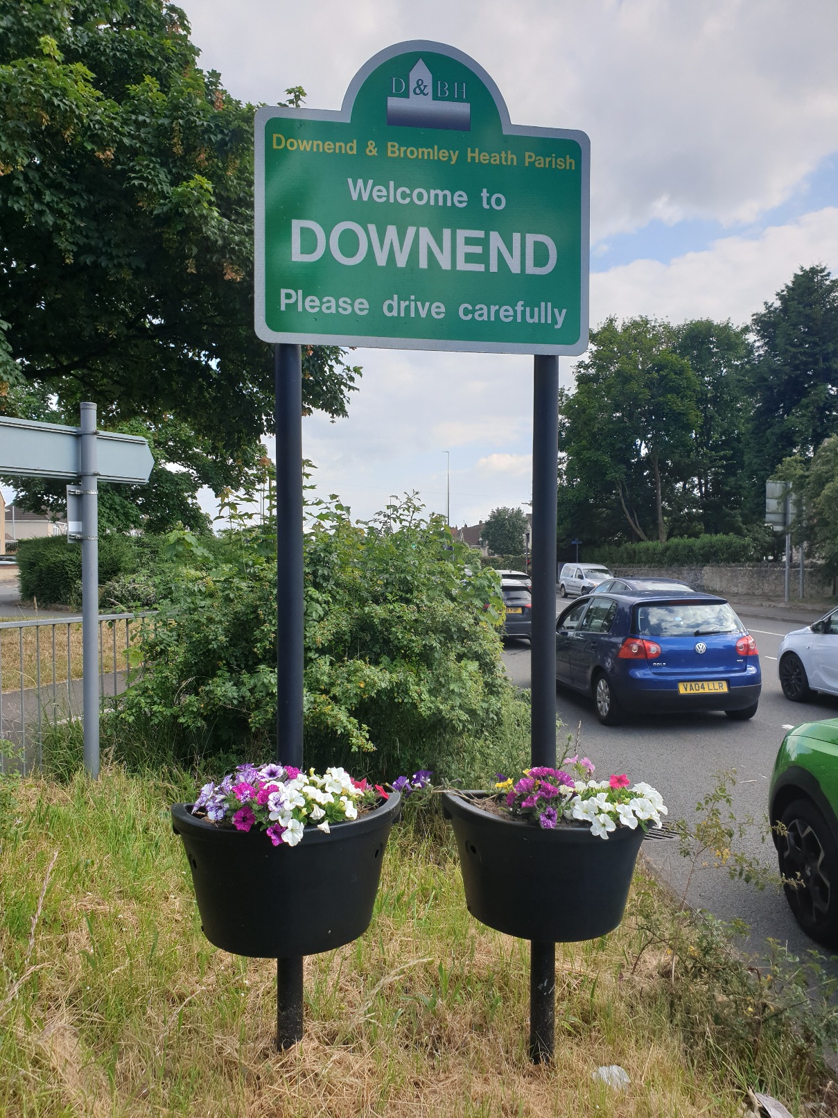
These also help to delineate our boundary.